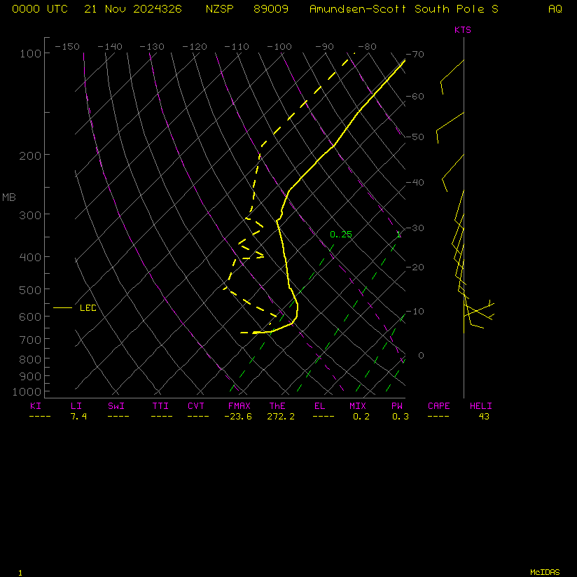
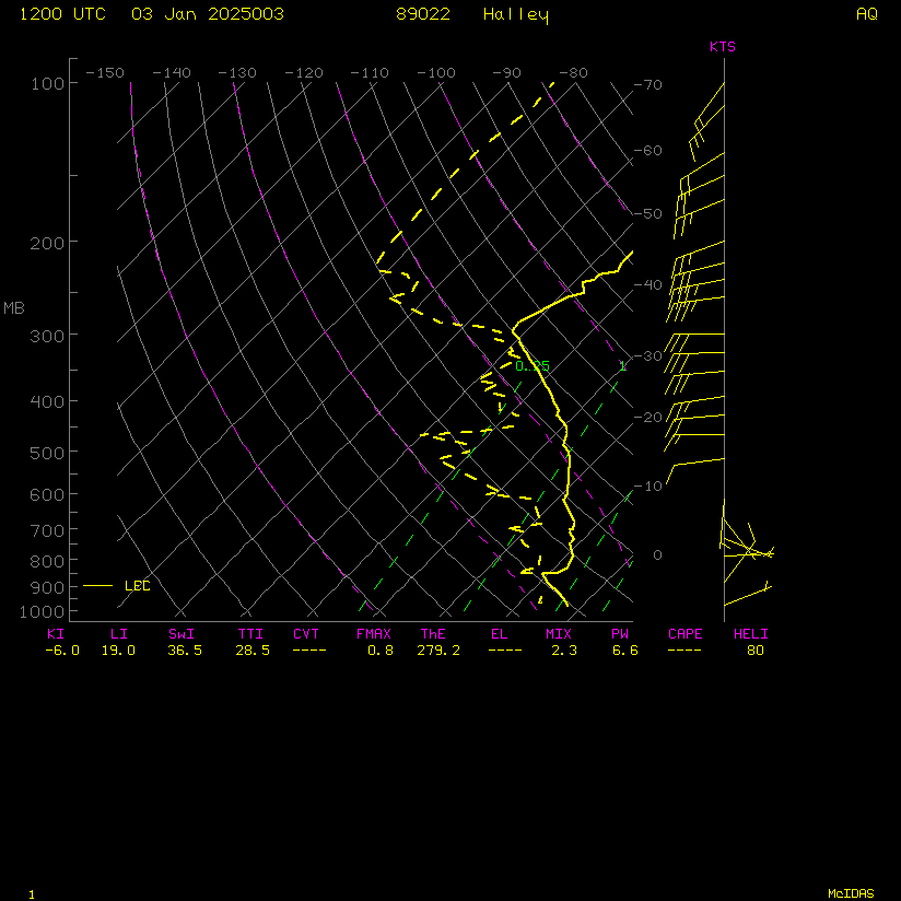
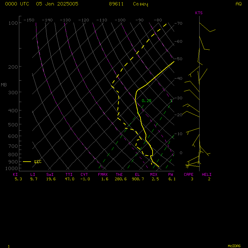
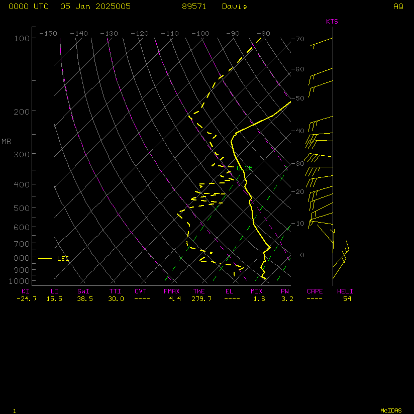
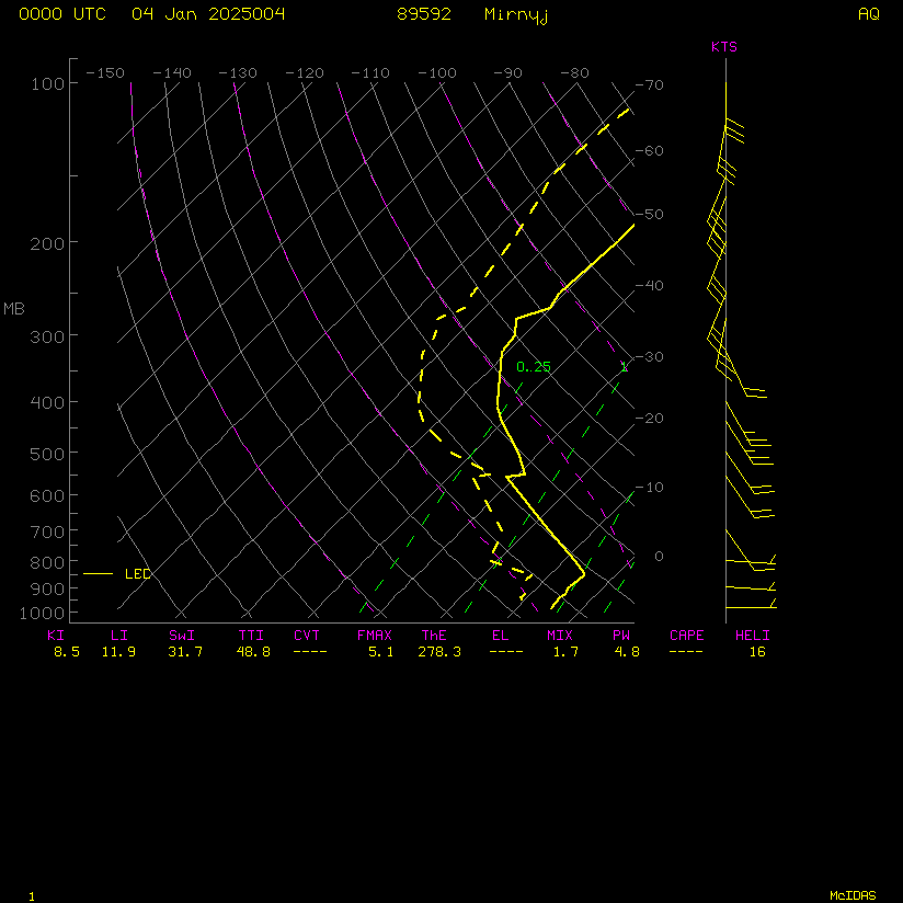
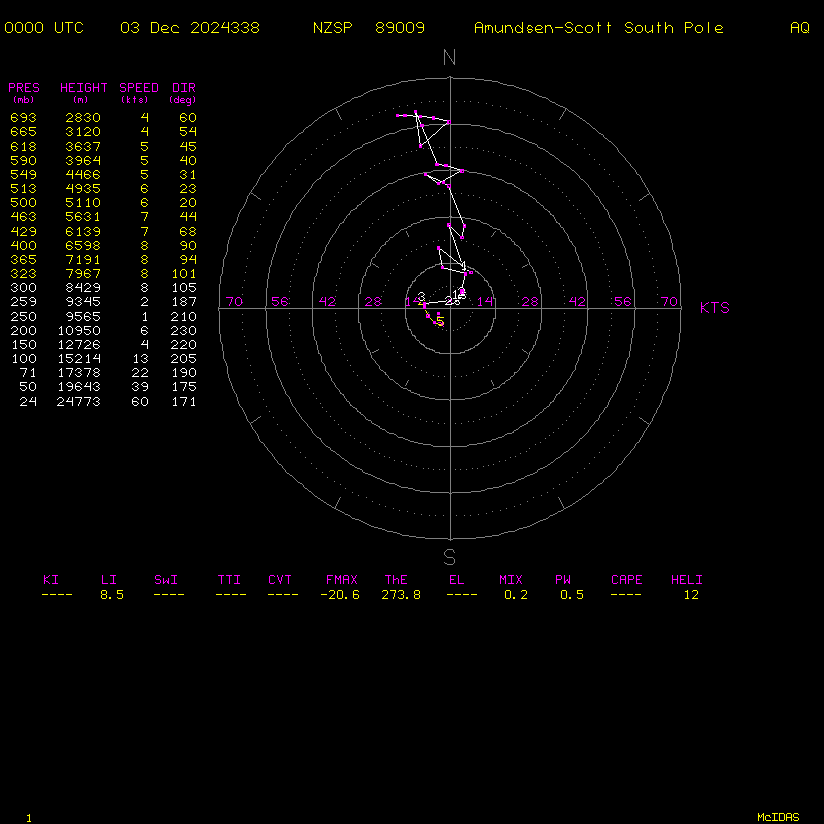
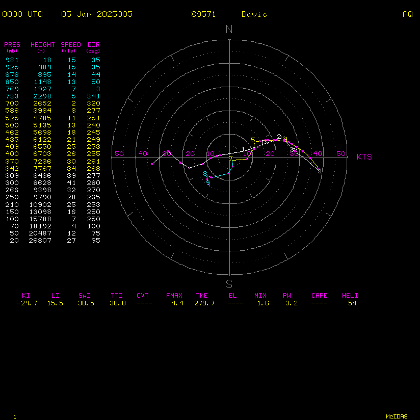
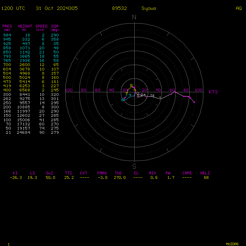
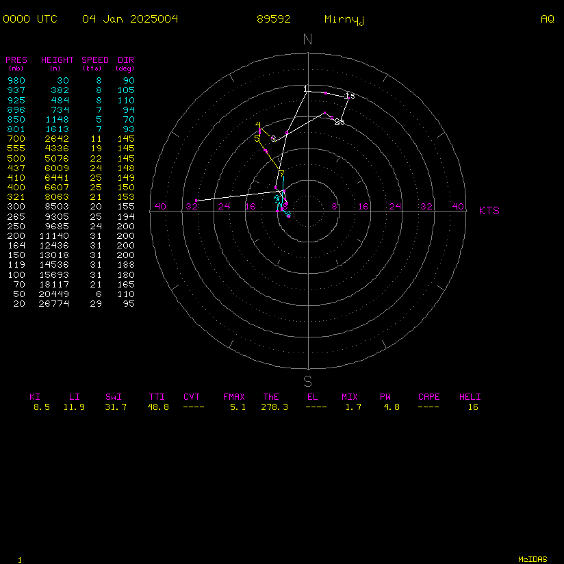
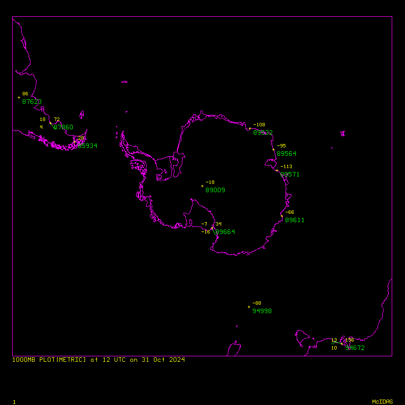
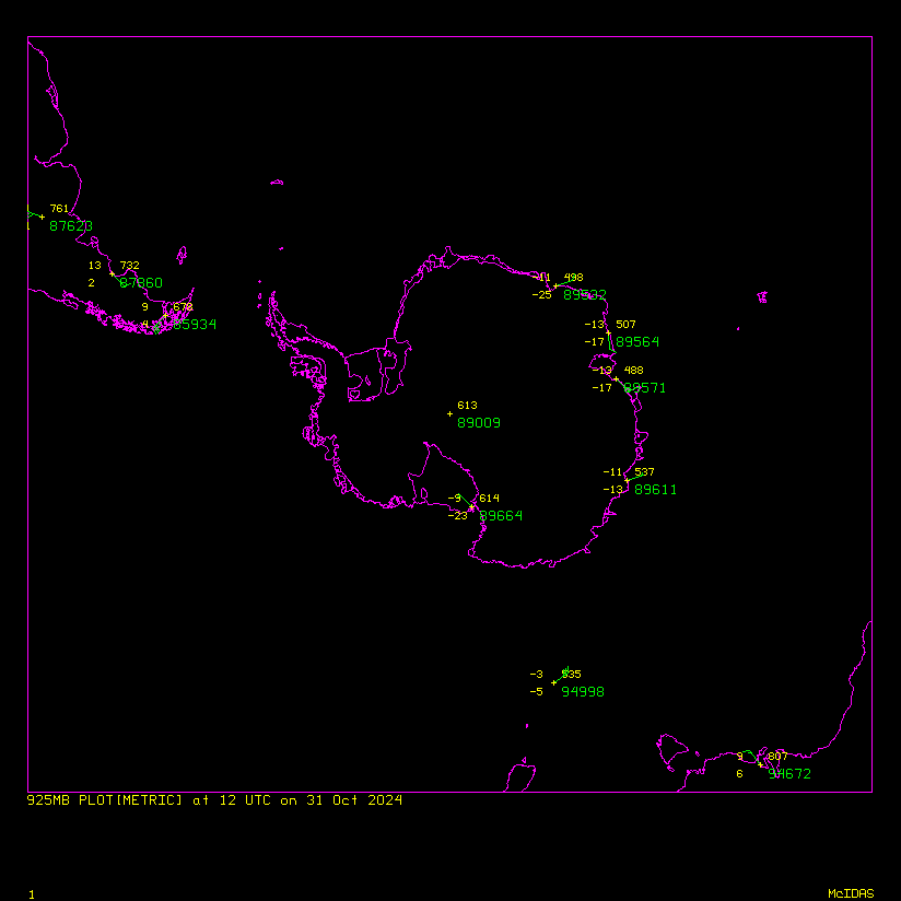
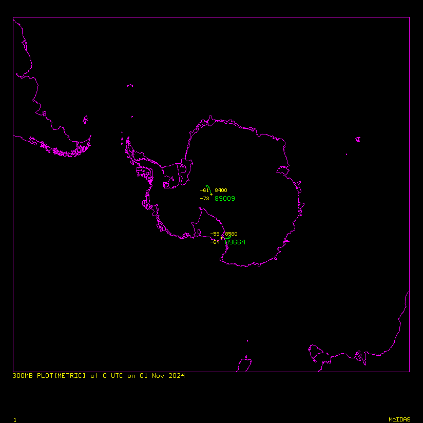
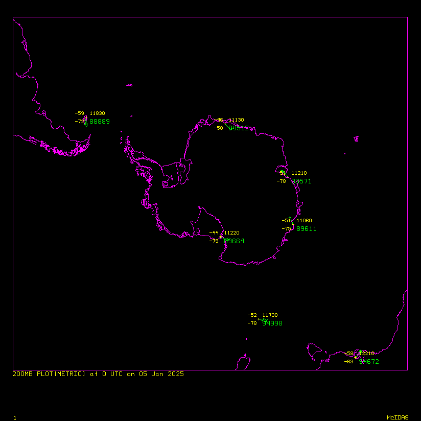
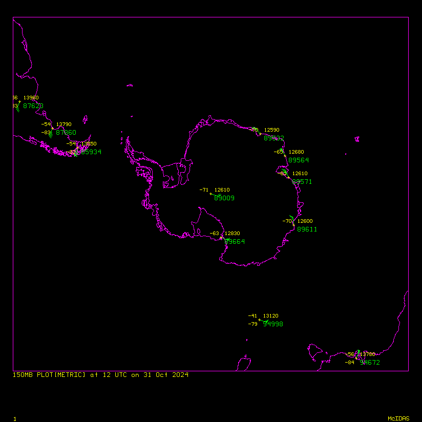
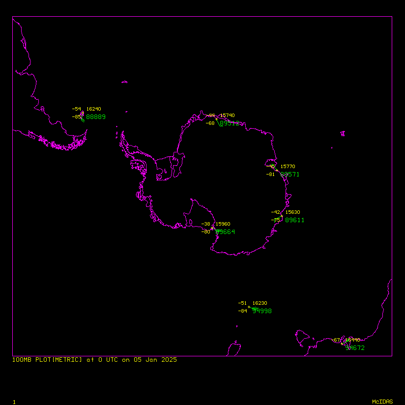
Upper Air and Antarctic WRF Mesoscale Prediction System (AMPS) data from McIDAS AMRDC ADDE server, plotted in McIDAS-X
| 00z | 12z | |
|---|---|---|
| 100 hPa | Obs | Obs w/Sat | Large | Obs | Obs w/Sat | Large |
| 150 hPa | Obs | Obs w/Sat | Large | Obs | Obs w/Sat | Large |
| 200 hPa | Obs | Obs w/Sat | Large | Obs | Obs w/Sat | Large |
| 250 hPa | Obs | Obs w/Sat | Large | Obs | Obs w/Sat | Large |
| 300 hPa | Obs | Obs w/Sat | Large | Obs | Obs w/Sat | Large |
| 400 hPa | Obs | Obs w/Sat | Large | Obs | Obs w/Sat | Large |
| 500 hPa | Obs | Obs w/Sat | Large | Obs | Obs w/Sat | Large |
| 700 hPa | Obs | Obs w/Sat | Large | Obs | Obs w/Sat | Large |
| 850 hPa | Obs | Obs w/Sat | Large | Obs | Obs w/Sat | Large |
| 925 hPa | Obs | Obs w/Sat | Large | Obs | Obs w/Sat | Large |
Product Description
Upper air charts are generated using the latest sounding data available and contoured with the latest AMPS data available (be it the 0 hour forecast from the run of the same time as the sounding or the 12 hour forecast from the previous run).
Satellite imagery is of the nearest available. This will be two to three hours different from the sounding time depending on when the product is viewed. For example, viewing the 00z soundings at 2 UTC may having a composite image from 22 or 23 UTC. This is because composites take several hours to complete.
In the event that compositing breaks, the imagery will be whatever the most recent available image is, which could be at a very different time than the other observations.