This is an accordion element with a series of buttons that open and close related content panels.
Project Background
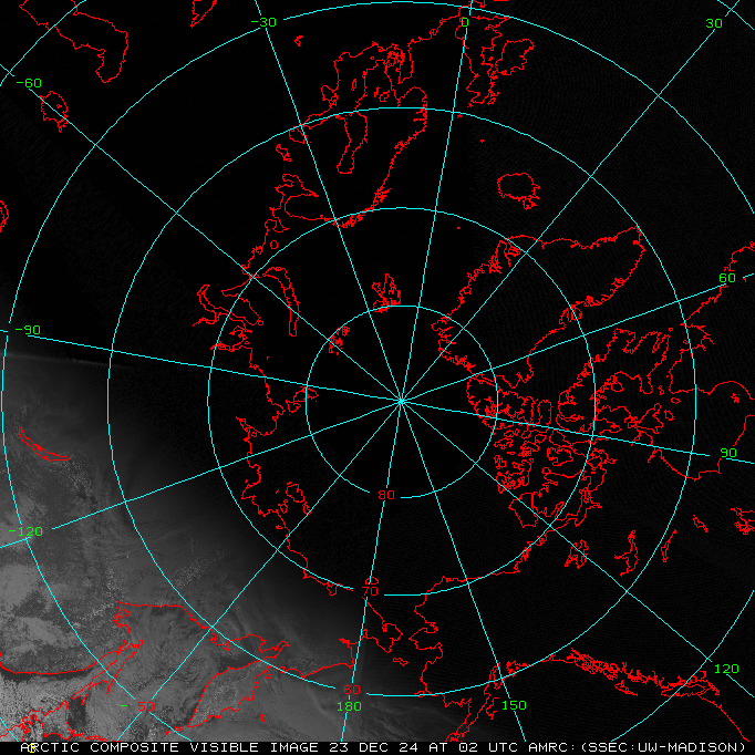
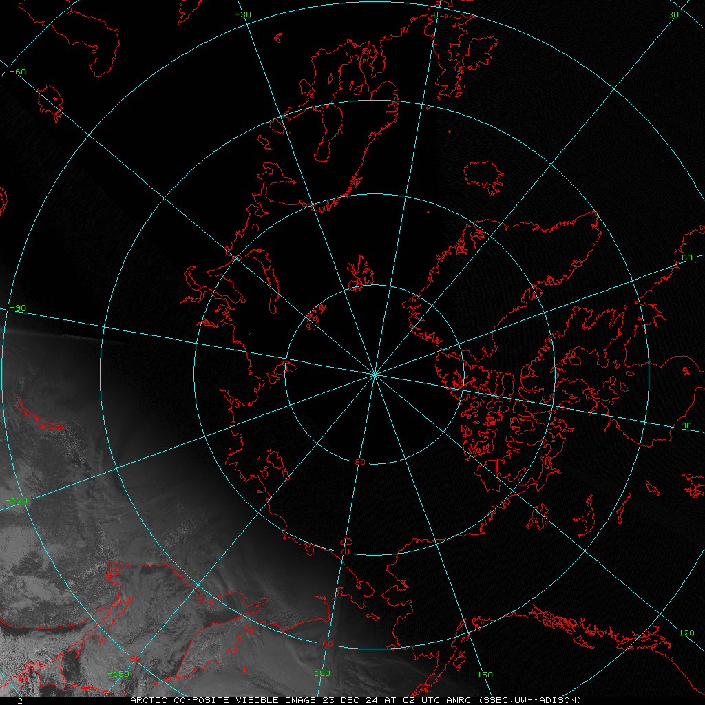
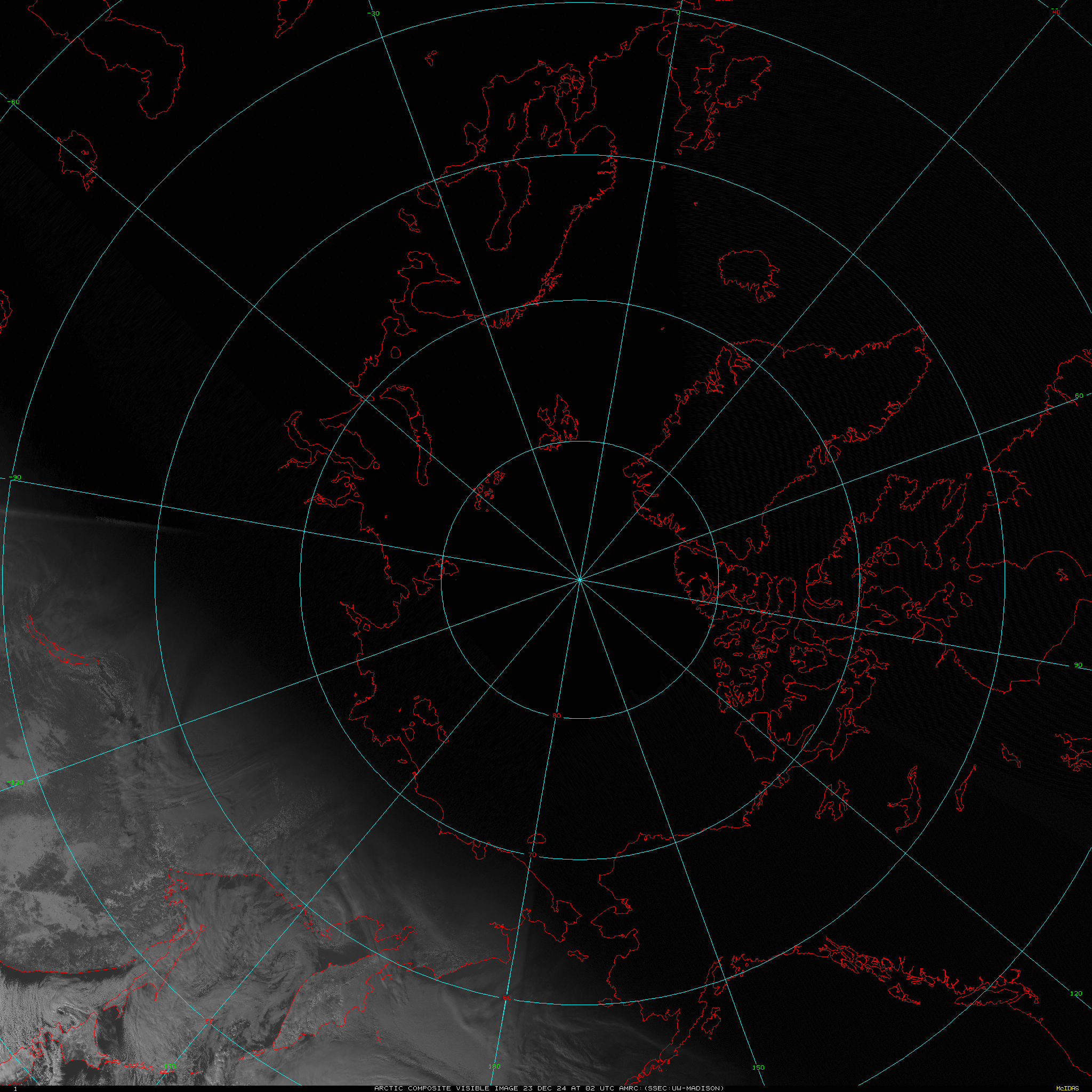
The Antarctic Meteorological Research and Data Center (AMRDC) first began making Arctic satellite composite imagery in the late 1990s and early 2000s at the Space Science and Engineering Center (SSEC), University of Wisconsin-Madison (UW-Madison), utilizing methodology from the established Antarctic satellite composite imagery. The Arctic satellite composite imagery were originally funded through a grant by the Arctic Natural Sciences Program, Office of Polar Programs (OPP), the National Science Foundation (NSF). In the early 2010s, a transition began of the Arctic satellite composite imagery to the National Oceanic and Atmospheric Administration (NOAA) National Environmental Satellite Data, Information, and Service (NESDIS) Office of Satellite and Product Operations (OSPO). This transition occurred primarily to support operations in NOAA’s Ocean Prediction Center (OPC) with secondary support of the National Weather Service Alaska, Weather Prediction Center, and National Ice Center. Currently, this Arctic Composite Imagery (ACI) Project is funded through a cooperative agreement between SSEC’s Cooperative Institute for Meteorological Satellite Studies (CIMSS) and NOAA Center for Satellite Applications and Research (STAR). The ACI include hourly imagery, with geostationary and polar orbitting data centered over the North Pole, with data covering the region to ~50˚ N. Operational imagery from OSPO are available here. The UW-Madison imagery are available below.
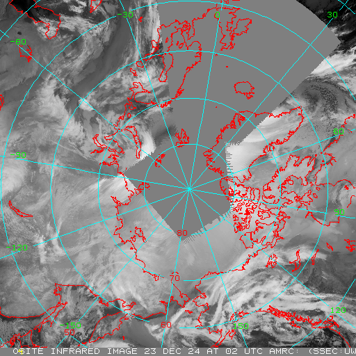
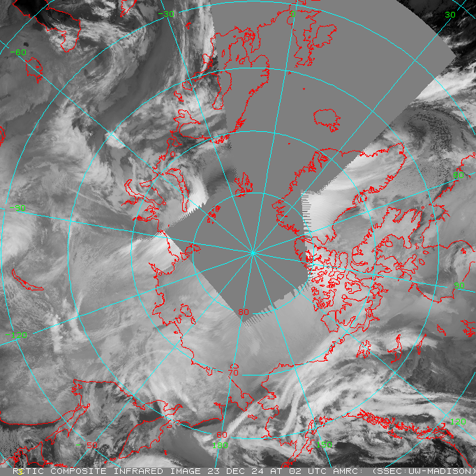
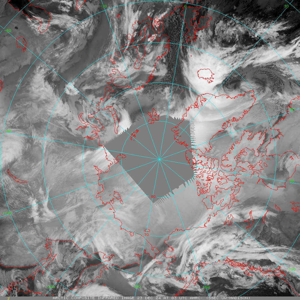
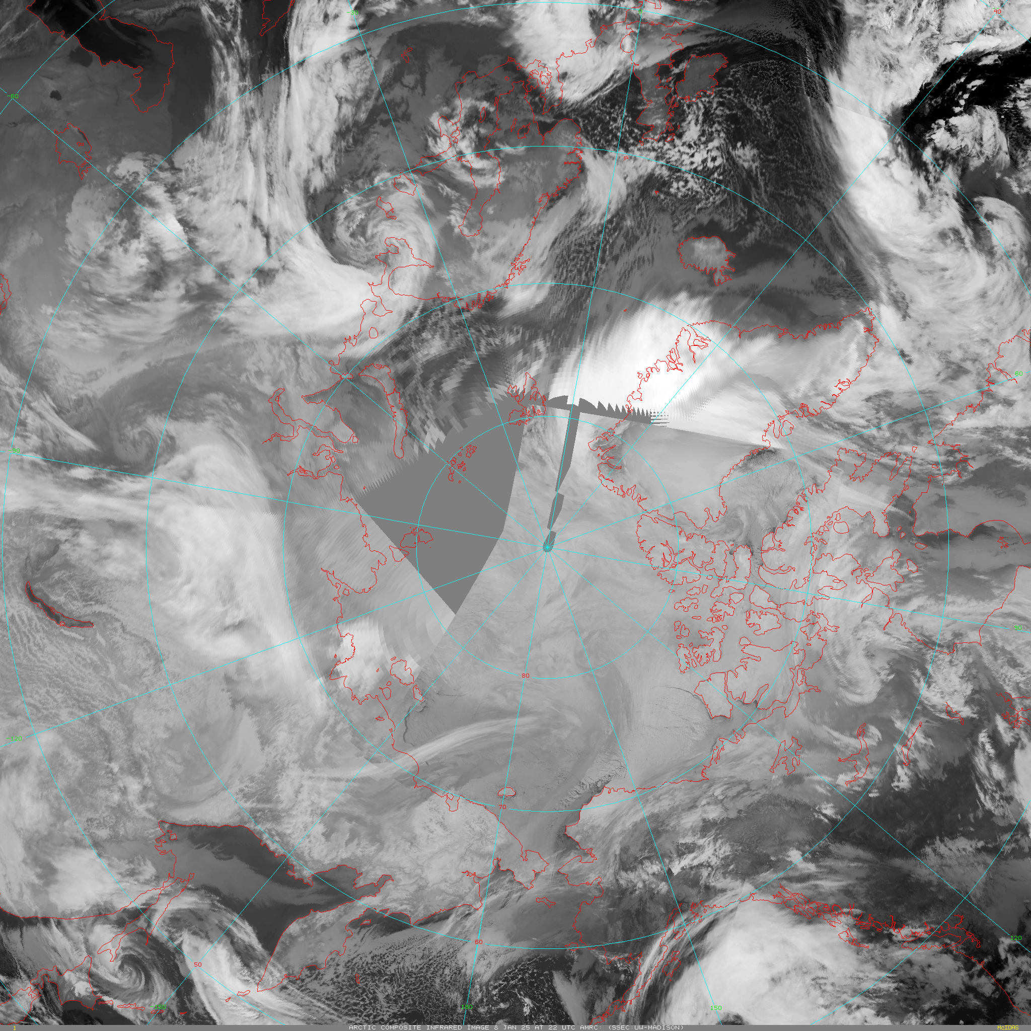
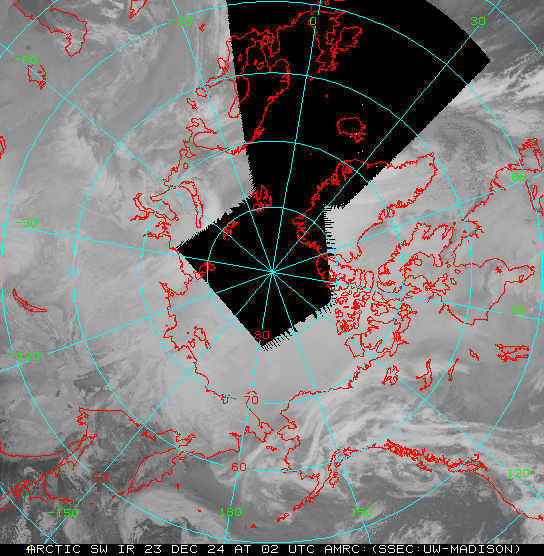
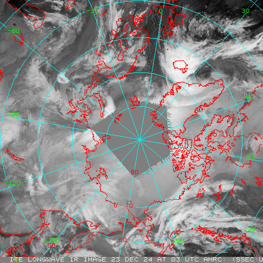
Infrared (~10.8 μm)
This is an accordion element with a series of buttons that open and close related content panels.
Latest image
Download image files
Animation
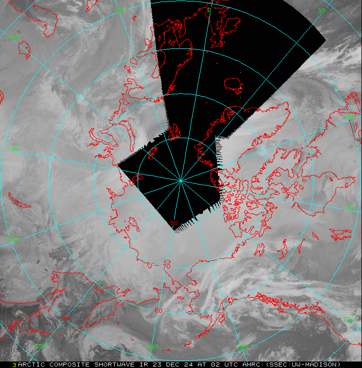
Shortwave (~3.7 μm)
This is an accordion element with a series of buttons that open and close related content panels.
Latest image
Download image files
Animation
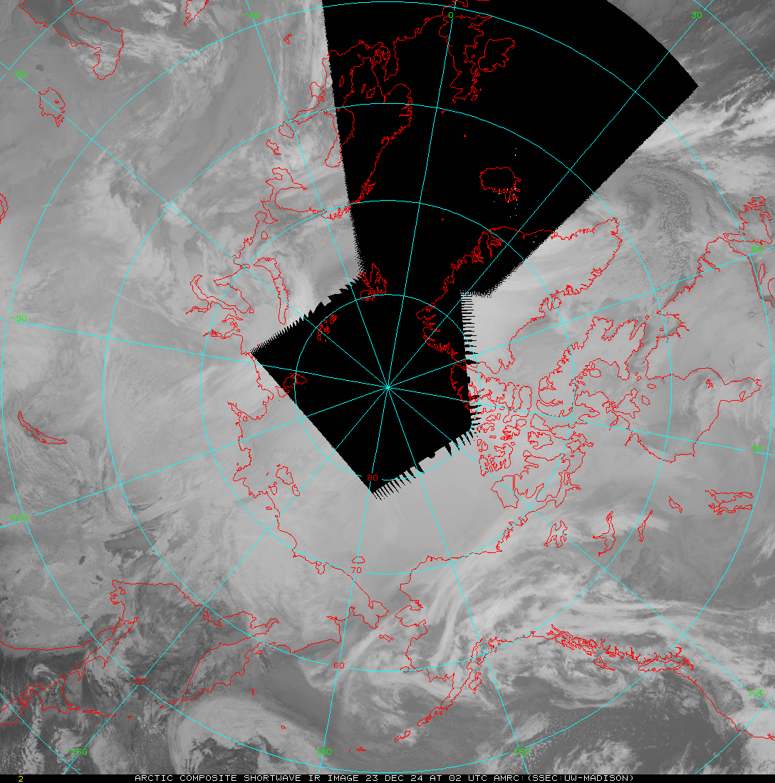
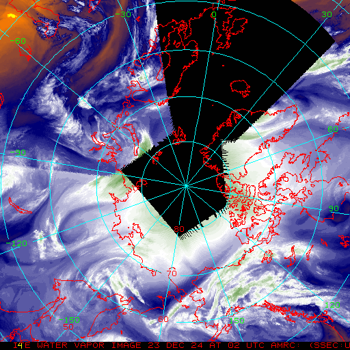
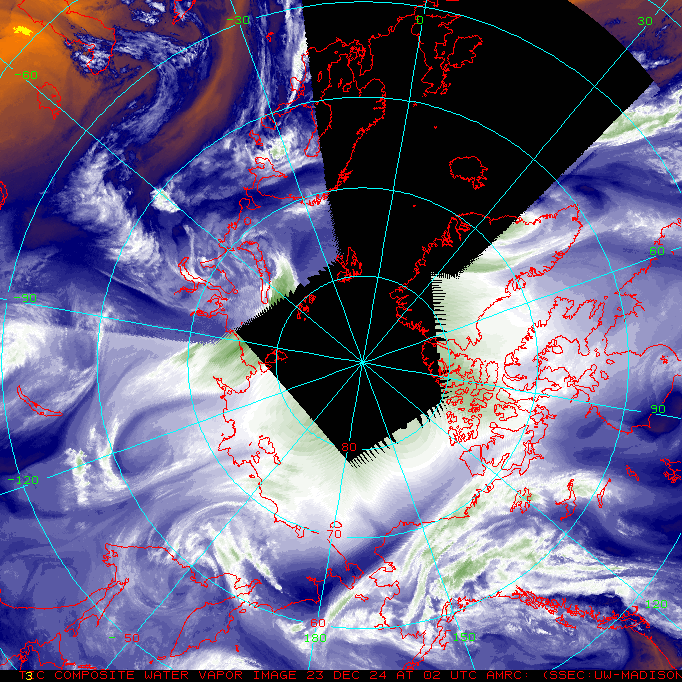
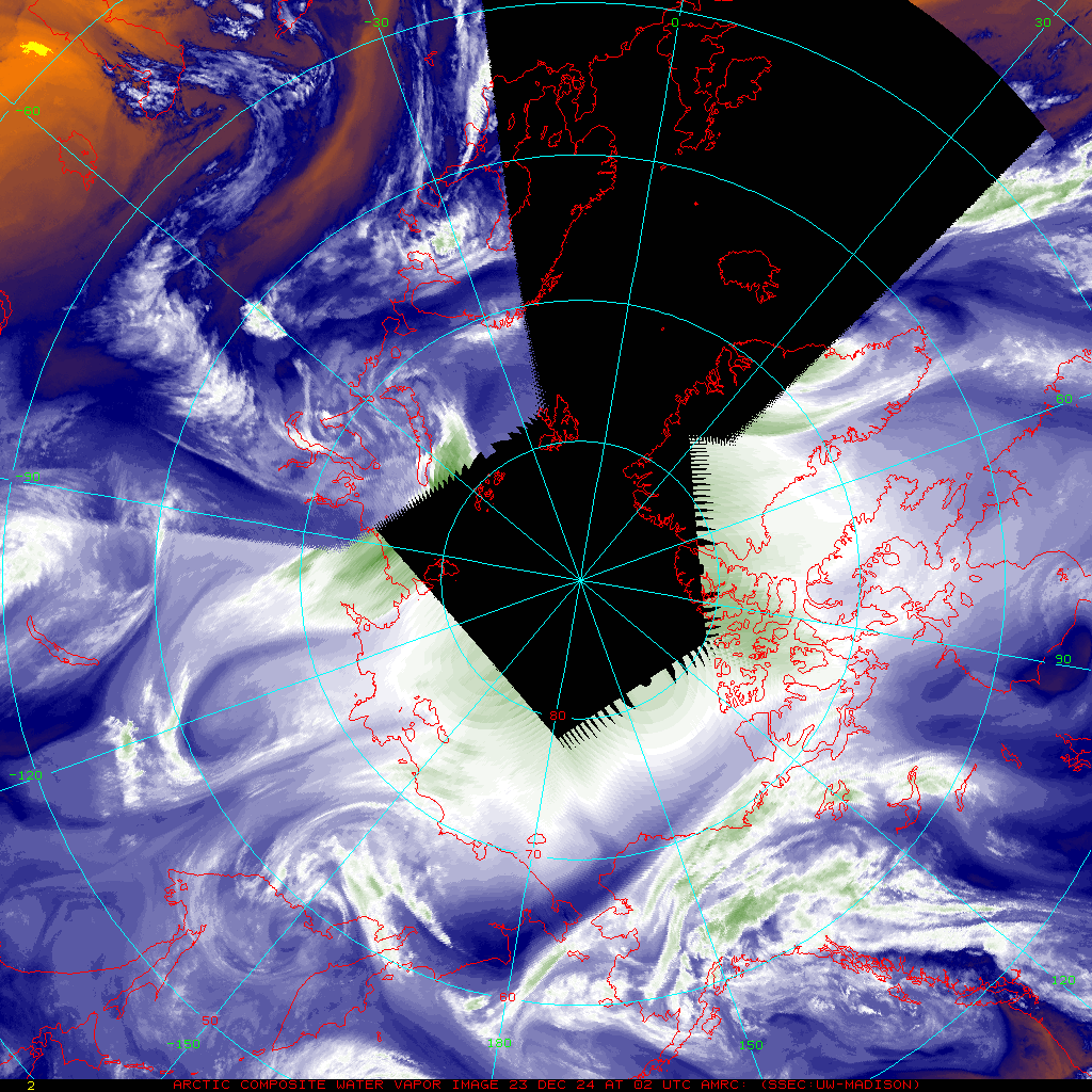
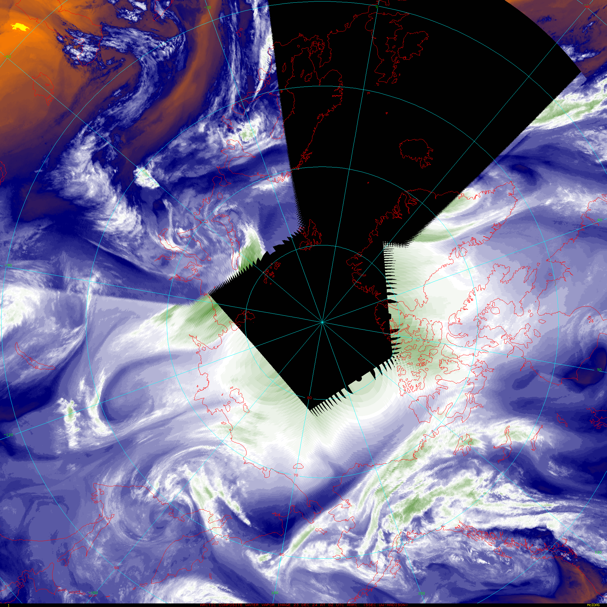
Water Vapor (~6.7 μm)
This is an accordion element with a series of buttons that open and close related content panels.
Latest image
Download image files
Animation
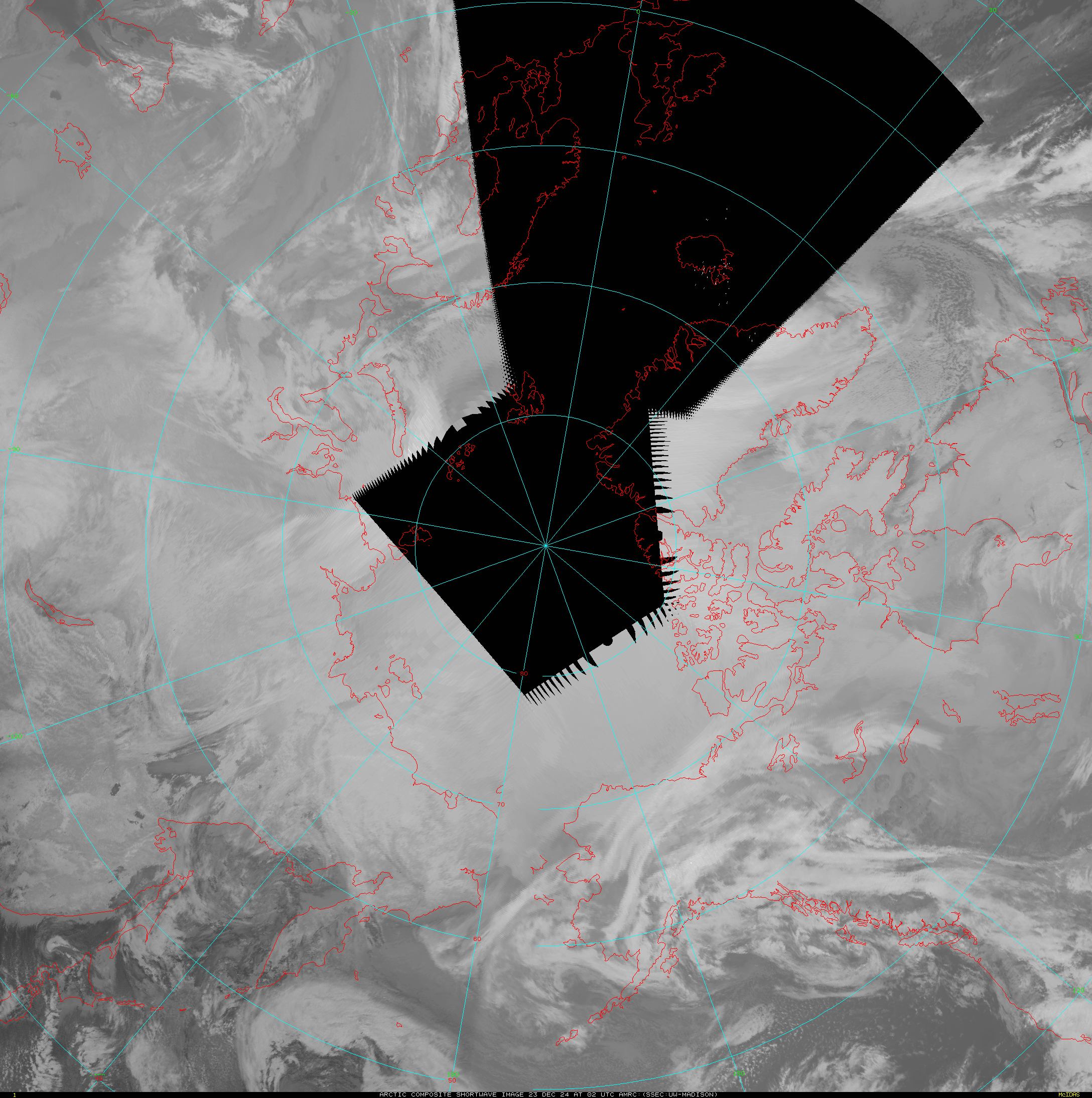
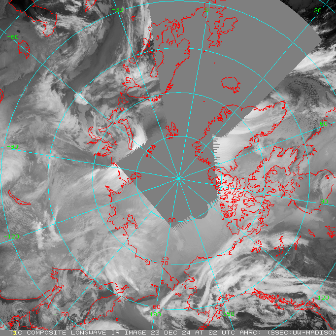
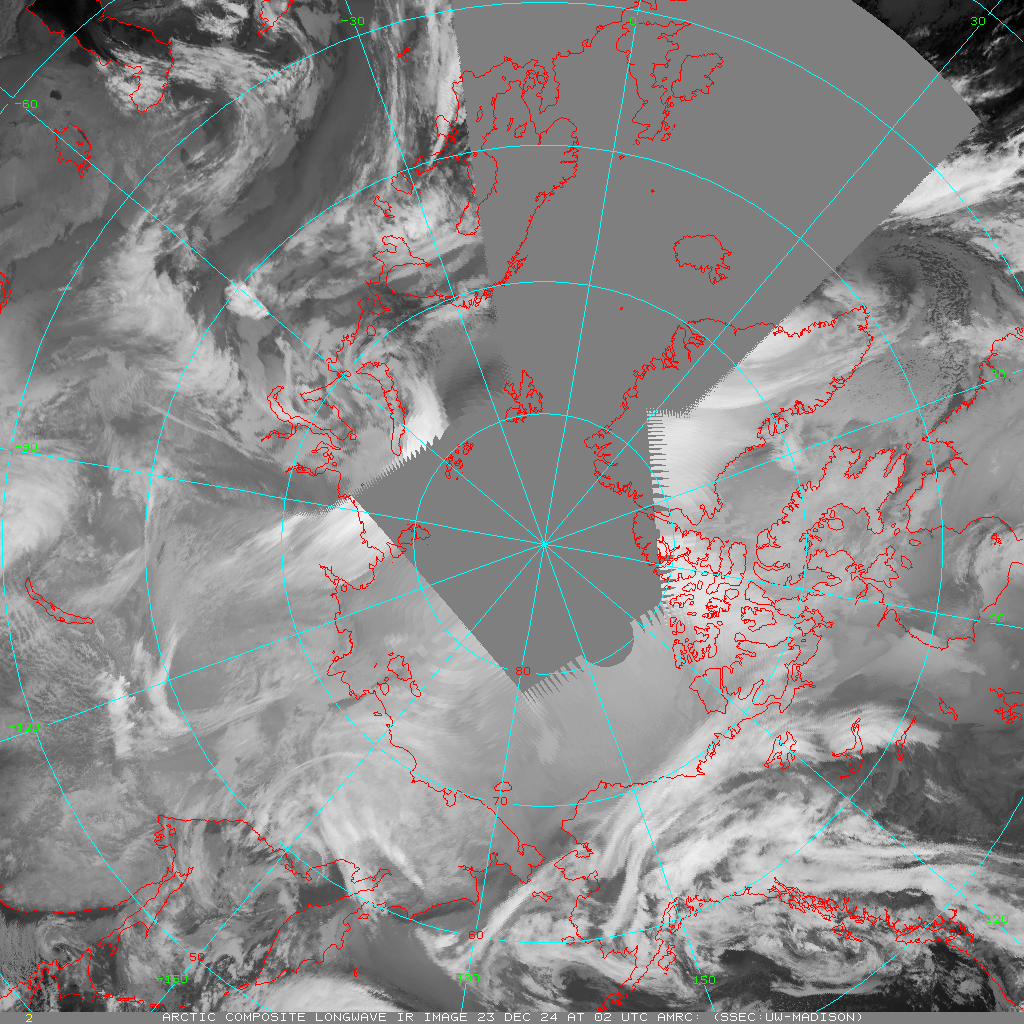
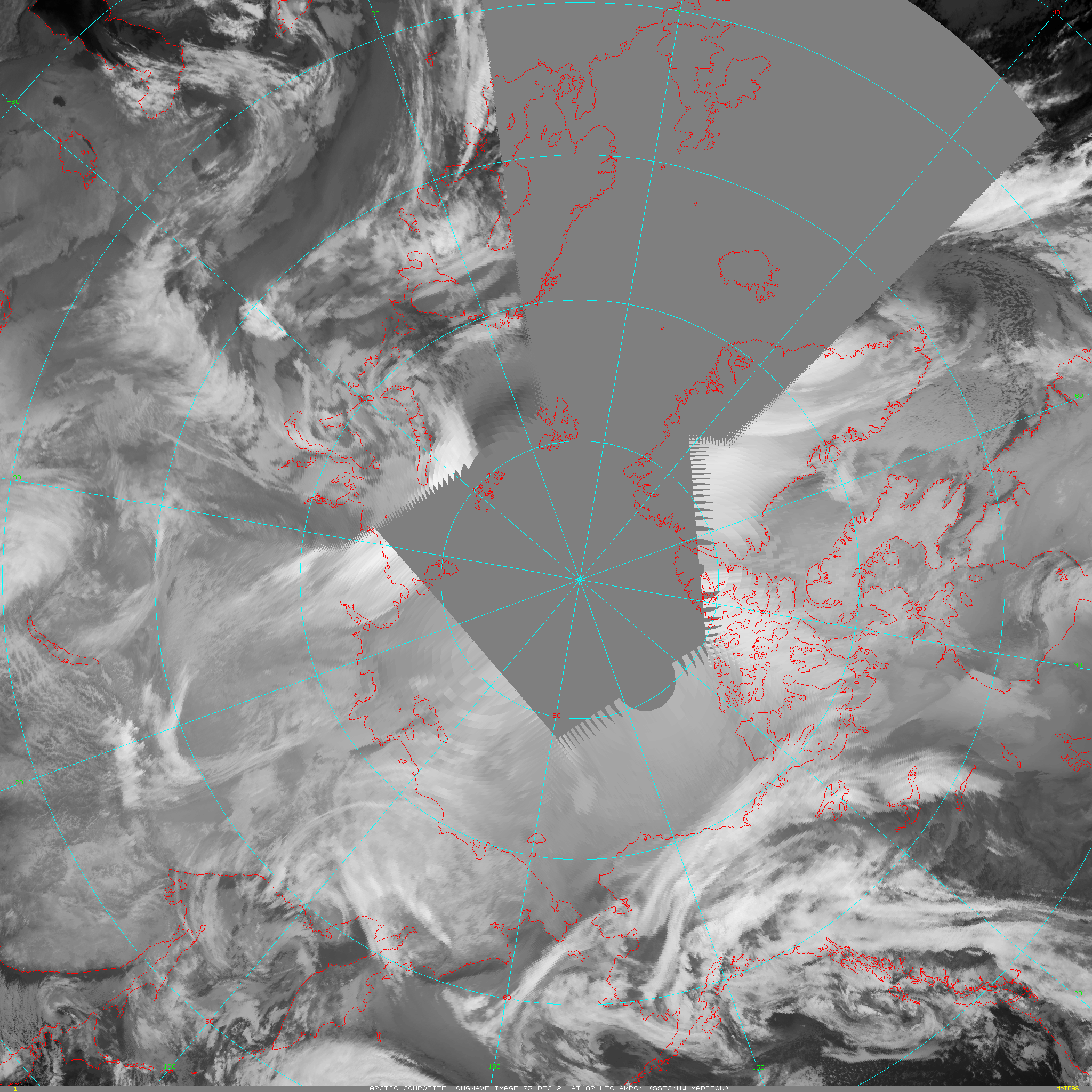
Longwave (~12.0 μm)
This is an accordion element with a series of buttons that open and close related content panels.
Latest image
Download image files
Animation
Visible (~0.65 μm)

This is an accordion element with a series of buttons that open and close related content panels.